In 1692, Louis XIV took possession of Namur after a siege led by his engineer, Vauban. Together, they decided to improve the existing fortifications and had a first plan-relief made. Unfortunately, three years later, the city was recaptured by the Netherlands, who carried out new development work.
As such, when the French army captured the city again in 1746, during the War of the Austrian Succession, the plan-relief ordered by Vauban had become obsolete! A new, updated version had to be constructed. It is this model that is found today in Lille.
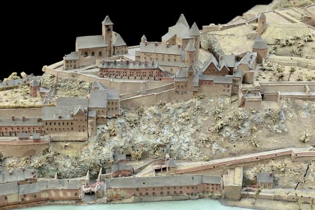
This plan stands out for its imposing size, measuring nearly 50 m². It also presents the city's topography, with its rocky spur upon which the citadel had been built. This represented one of the largest strongholds of the 18th century.
In order to facilitate the creation of this plan-relief, the engineer Jean-Baptise Larcher took several trips to Namur, with his team of draughtsmen and geographers. Unfortunately for them, their work was put in peril by a crucial event: in 1748, two years after the city's recapture, the war ended with the treaty of Aix-la-Chapelle and … Namur was returned to the Netherlands! The plan-relief was therefore quickly moved and finished elsewhere!
Detail: The fortifications on the rocky spur. A few towers of the former medieval tower can still be seen today.